Tropical storm dynamics (hurricanes, typhoons, …)
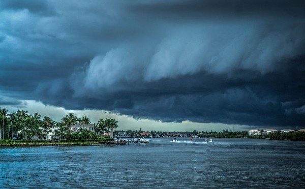
Tropical storms are of great societal interest as they cause wind damage, surges and flooding as well as loss of lives. This means they can pose huge economic damage. Thus, the NWS and insurance companies as well as local and regional decision makers are very interested in their prediction even though for different reasons and at different time scales. Reinsurance companies, for instance, want to know the severity ahead of a tropical storm season to buy or drop insurances. The NWS and decision makers need accurate weather forecasts and landfall location. On the long term, decision makers want to make strategies to reduce damage risks. Some of these are also driven by insurance companies, who may refuse to sell insurance when certain measures for reduced risk are not in place or they may only sell insurance at ex-orbital prices.
This unit deals with the characteristics, climatology, genesis, life cycle and prediction of tropical storms.
Learning goals
After completion of this units, students will be able to
- Define and describe the characteristics of tropical cyclones and their categories as well as regions of occurrence
- Name the seven necessary conditions for tropical cyclogenesis
- Explain tropical cyclogenesis
- Distinguish the CISK-, WHISHE- vortex interaction and hot-tower mechanisms (graduate students)
- Discuss the role of pre-existing disturbances and unified mechanism for tropical cyclones (graduate students)
- Explain the intensity and mesoscale structure and movement
- Explain the prediction of tropical storms
Student tasks
- Watch this video on Tropical Storms
- Watch this video on theoretical description of a Tropical Storm (graduate students)
- Watch this video on detecting a hurricane in MODIS data
- All students: Read chapter 9.3 to 9.3.3e (included) and 9.3.3 to 9.4 (included) in Lin, Mesoscale Dynamics
- Graduate students: Look for tropical cyclone event and discuss the evolution and movement on slack
- Watch this video of a worked problem
- Solve the problems in this Unit 12 application task sheet, scan your results and submit them to cmoelders@alaska.edu
Supplemental material (optional)
Dorian
GOES-16 visible and infrared imagery of category 5 hurricane Dorian:
Interactive TC mapping tool
NOAA’s Office for Coastal Management maintains an online interactive mapping tool called Historical Hurricane Tracks that offers users the ability to search and display global tropical cyclone data. The data can be downloaded in GIS format.
© 2020 Nicole Mõlders | All rights reserved