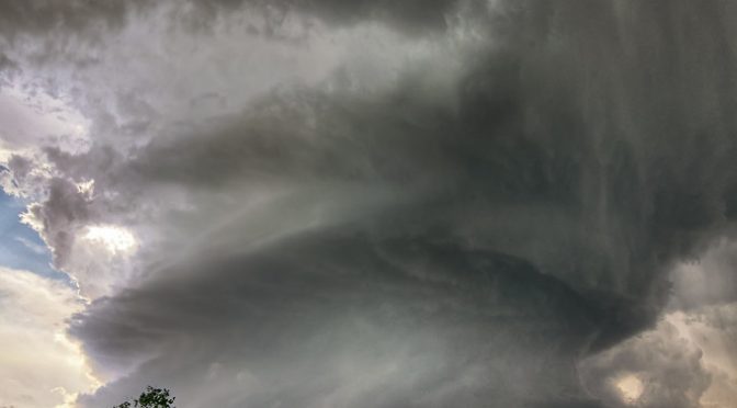
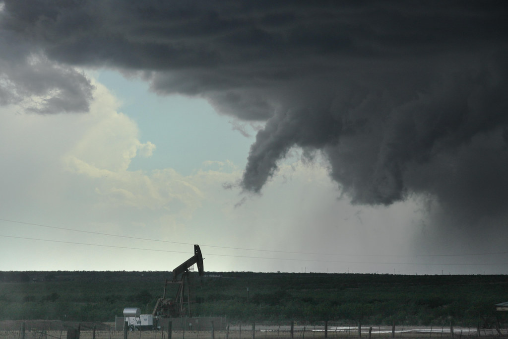
Supercells and tornadoes
Another severe mesoscale phenomenon are supercells. They differ in size, duration and severity from single-cell thunderstorms and may form tornadoes. Like multi-cell thunderstorms, supercells have a long duration and self-sustaining processes. In contrast to multi-cell storms, supercells have only one up- and one downdraft.
Learning goals
After completion of this units, students will be able to
- Discuss the physical processes that lead to and go on over the lifetime of a supercell
- Explain how supercell behavior is related to the ambient environment and synoptic scale forcing
- Analyze weather maps, radio-soundings and radar data to predict when, and where supercells will occur, and whether or not supercells will develop
- Explain supercell splitting, its role for storm rotation and movement of split supercells (graduate students)
- Distinguish between single cell storms, multi-cell storms and super cells
- Explain the differences between Alaska’s funnel clouds/tornadoes and tornadoes from supercells
Student tasks
- Watch this video on supercell formation, lifecycle and characteristics
- Watch this computer model visualizations of a supercell life cycle from formation over tornado development to dissipation
- Watch this video on the vorticity in a supercell storm
- All students: Read chapter 8.4 to 8.4.1 (included) and sections 8.5 to 8.5.3 (included) in Lin, Mesoscale Dynamics
- Graduate students: Read sections 8.4.2 to 8.4.5 (included) in Lin, Mesoscale Dynamics
- Solve the problems in this application task sheet, scan your results and submit them to cmoelders@alaska.edu
Supplemental material (optional)
13 May 2003 Hail Catastrophe: This case study deals with convective cells over Austria in a prefrontal unstable airmass causing expectionally intensive hail and a tornado in Vienna which is a rare phenomenon in this region.
NOAA tornadoes
More on radars
Oklahoma lightning dection array
Simulation of a storm
The NSSL COllaborative Model for Multiscale Atmospheric Simulation (COMMAS) is a 3D cloud model used to recreate thunderstorms for closer study. The simulation shows the early tornadic phase of the Greensburg, Kansas supercell that destroyed much of the city in 2004.
https://www.nssl.noaa.gov/tools/simulation
COMMAS model output: This animation shows cloud edge (gray), 40 dbZ volume (brown), vertical vorticity (blue), lightning (white and yellow volumes), and surface simulated radar reflectivity and wind vectors. (Note: no audio track, no captioning.)
More on tornadoes
© 2020 Nicole Mõlders | All rights reserved